The Institute for Geospatial Understanding through an Integrative Discovery Environment (I-GUIDE) aims to transform geospatial data-intensive sciences through the integration of AI and cyberGIS, reproducible data-intensive analytics and modeling, FAIR (Findable, Accessible, Interoperable, and Reusable) data principles, and innovative education and workforce development programs. I-GUIDE’s webinar series showcases innovative research and education advanced by I-GUIDE collaborators and partners.
Tuesday, August 8, 2023
Geovisualization: What might be seen? What might be missed?
Barbara Buttenfield, University of Colorado, Boulder (emerita)
Monday, August 7, 2023
Digital Twins, Digital Earth, and Ethics
Mike Goodchild, UC Santa Barbara (emeritus)
Tuesday April 25, 2023 at 12 pm Central time
The Growing Challenge of Geospatial Interoperability — from the Real World to the Metaverse
This is THE time for geospatial. And that is NOT because of the ubiquity of technologies like cloud, edge and AI, or because of the overwhelming amount of location data we generate as a global society. This is THE time for geospatial because geospatial can accelerate our ability to solve some of the most critical problems facing us as human beings on this planet! Geospatial, as a capability, set of technologies and yes as a community, can help connect, integrate, analyze, and visualize data that can accelerate our preparedness and response to disasters from floods to landslides to wildfires to droughts and everything in between. Geospatial can help drive building blocks for global and local climate services to accelerate our understanding of climate and consequently our efforts for resilience and adaptation. Unfortunately, Geospatial is still falling short of reaching its full capability because geospatial information is still not as Findable Accessible Interoperable and Reusable (FAIR) as it should be in 2023. Hence why the Open Geospatial Consortium (OGC) is intensifying its efforts working with communities around the world to create interoperable building blocks for geospatial information to make it easier for ANYONE to share, use, integrate and analyze geospatial information. Our focus in 2023 is on supporting the Marine Spatial Data Infrastructure global efforts as well as the Disaster and Climate Resilience efforts via global collaboration leveraging existing and emerging standards and innovations. Marrying new concepts and innovations like Gaming and the Metaverse with a problem-solving community driving FAIR geospatial information is a requirement for nurturing a sustainable resilient planet!
 Presenter: Dr. Nadine Alameh.
Nadine Alameh is the Chief Executive Officer (CEO) and President of the Open Geospatial Consortium (OGC), responsible for creating and integrating the strategic direction and business plans of the Consortium in partnership with the OGC Board, members and staff. Dr. Alameh is a seasoned technical and business professional with a focused commitment to interoperable information exchange, technology & process innovation. Prior to her current roles, she had served OGC as a Director, then Executive Director of OGC’s Interoperability Program, leading initiatives in various domains including earth observation, aviation, public safety and defense. Prior to rejoining OGC in 2019, Dr. Alameh was Northrop Grumman’s Chief Architect for Innovation Strategy – Civil Solutions Division, and has also run several small businesses including an international business delivering information management solutions in the Aviation sector and a consulting business focusing on addressing geospatial interoperability issues for the US federal government. Dr. Alameh is a graduate of MIT with a PhD in Computer and Information Systems Engineering, a Masters in Civil and Environmental Engineering, and a Masters in City Planning – all with specialization in Geographic Information Systems (GIS).
Tuesday January 31, 2023 at 12 pm Central time
A Portfolio Risk Analysis of Aging U.S. Dams in a Changing Climate
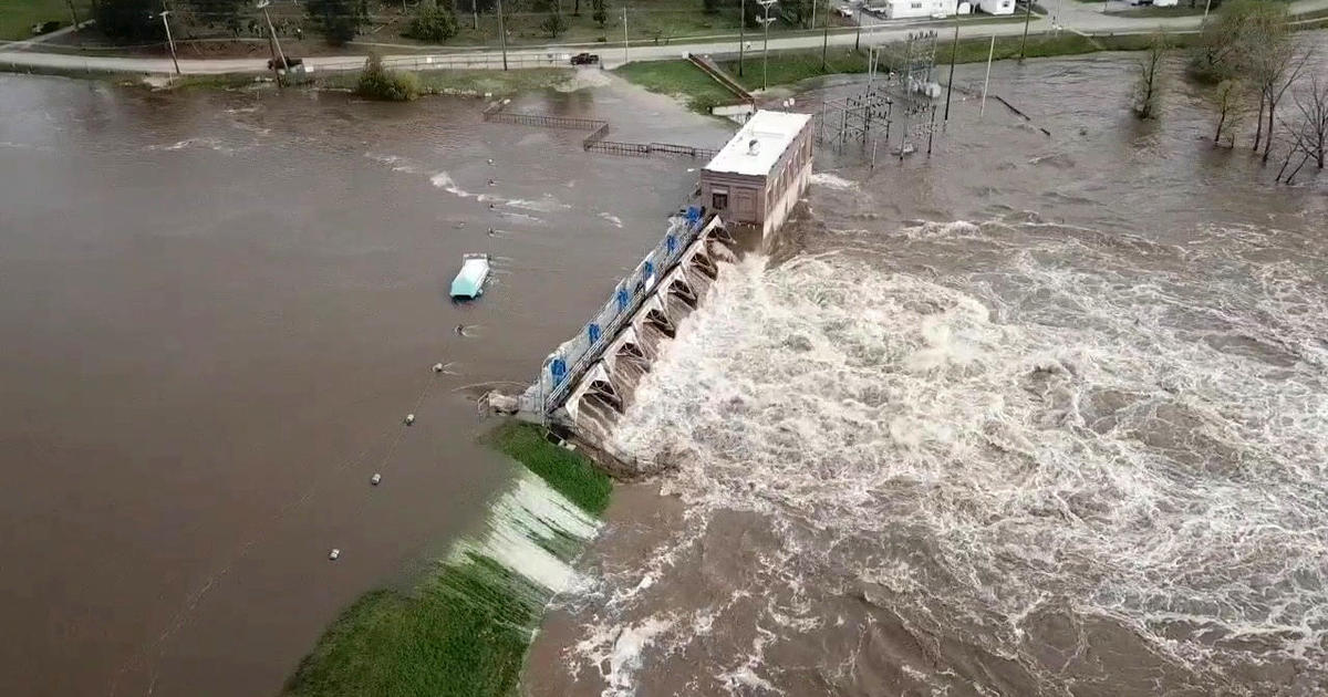 U.S. dams are threatened by age-induced fragility and increased hydrologic stresses due to climate change. In many cases, communities and infrastructure below the dams have also increased dramatically over time, increasing the exposure to dam failure. Given that there are over 90,000 such dams in the United States, a traditional approach to dam risk assessment is challenging to implement. Our I-GUIDE project is taking an integrated approach to the application of “big data” sources so that a national or portfolio risk assessment of these assets can be attempted for the first time. This includes a spatially specific analysis of the climate changes of concern, of what is likely to be impacted if the dams fail, of the cascading effects of those failures on the national economy and other critical infrastructure elements, and the potential resilience of the infrastructure systems given the governance at different levels. The application of machine learning tools, statistical inference, natural language processing and the geo-hypercube together with traditional physics based and economics models is illustrated.
Presenters:
- Dr. Upmanu Lall, Director of the Columbia Water Center and the Alan & Carol Silberstein Professor of Engineering, Columbia University
- Dr. Jinwoo Park, Postdoctoral Research Associate at the CyberGIS Center, University of Illinois
- Mr. Adam Tonks, Ph.D. Student in Statistics, University of Illinois
- Dr. Jeongwoo Hwang, Postdoctoral Research Scholar, Civil, Construction, and Environmental Engineering, North Carolina State University
October 5, 2022
Visual Storytelling with Data: From the Basics to Science Communication
You have data – now what? Data visualization can take your research to the next level, whether by helping you with data analysis or science communication. This webinar will introduce you to what visualization can do for you, how to target various audiences, and different methods of data representation. Looking to make broad public impact? Then cinematic scientific visualization is for you. This style of data viz can be seen in museums, documentary films, and viral social media, and it has the potential to reach millions of people worldwide. I-GUIDE has expertise and partners that can help you reach general audiences.
Presenters:
Dr. Vetria Byrd is an Associate Professor of Computer Graphics Technology in the Polytechnic Institute at Purdue University. Her research agenda develops a progressive learning path for teaching and learning data visualization, and addressing educational gaps in teaching diverse audiences in diverse settings about data visualization. She is the founder and organizer of BPViz: Broadening Participation in Visualization Workshop which broadens participation and builds data visualization capacity of women and persons with limited access to visualization resources. She is a member of the NSF-supported I-GUIDE Education and Workforce Development Team.
 Kalina Borkiewicz is the director of the NCSA Visualization Program Office and the Advanced Visualization Lab (AVL). She has been creating scientific visualizations for public outreach since 2014, and the AVL team has a history going back to the 1990’s under Donna Cox. Kalina has a computer science background and has contributed to a number of visualization software efforts, including Ytini (ytini.com). She is a member of the NSF-supported I-GUIDE Engagement & Partnerships Team.
Discussant:  Mark SubbaRao leads NASA’s Scientific Visualization Studio. Before joining NASA in 2020, Mark spent 18 years at the Adler Planetarium in Chicago, where he produced planetarium shows and designed museum exhibits featuring data-driven scientific visualizations. During 2019-2020 Mark served as President of the International Planetarium Society (IPS), where he spearheaded the ‘Data to Dome’ initiative – an effort to prepare the planetarium community for the big data era.
May 11, 2022
Exploring the Frontiers of Data Science Education through I-GUIDE and Data Mine Partnerships
Mark Daniel Ward, Purdue University
As we plan for the 2022-23 academic year, Mark Daniel Ward discusses potential next steps for creating Data Mine experiences in I-GUIDE. I-GUIDE has opportunities to advance geospatial data science education through collaborating with the Data Mine project and many partners. This webinar will explore such opportunities, share the recent progress on the Data Mine project, and address potential collaborative activities for the upcoming academic year and beyond.
March 23, 2022
Navigating the Evolving Educational Landscape in a Convergent Geospatial World
Eric Shook, University of Minnesota
The needs for geospatial education and workforce development are shifting under our feet. This webinar will explore these shifts and discuss the first steps aimed at adapting to a new educational landscape by connecting three active projects. The NSF-supported Hour of Cyberinfrastructure project is helping learners build Cyber Literacy for GIScience. The GeoCommons–a place for space–will serve as a geospatial collaboration hub for research, education, and engagement at the University of Minnesota. The NSF-supported I-GUIDE aims to transform geospatial data-intensive sciences, in part through innovating education and workforce development programs. Dr. Shook will share his vision and experiences in the pursuit of lowering barriers, bridging silos, supporting diverse learner pathways, and broadening education beyond a single degree.