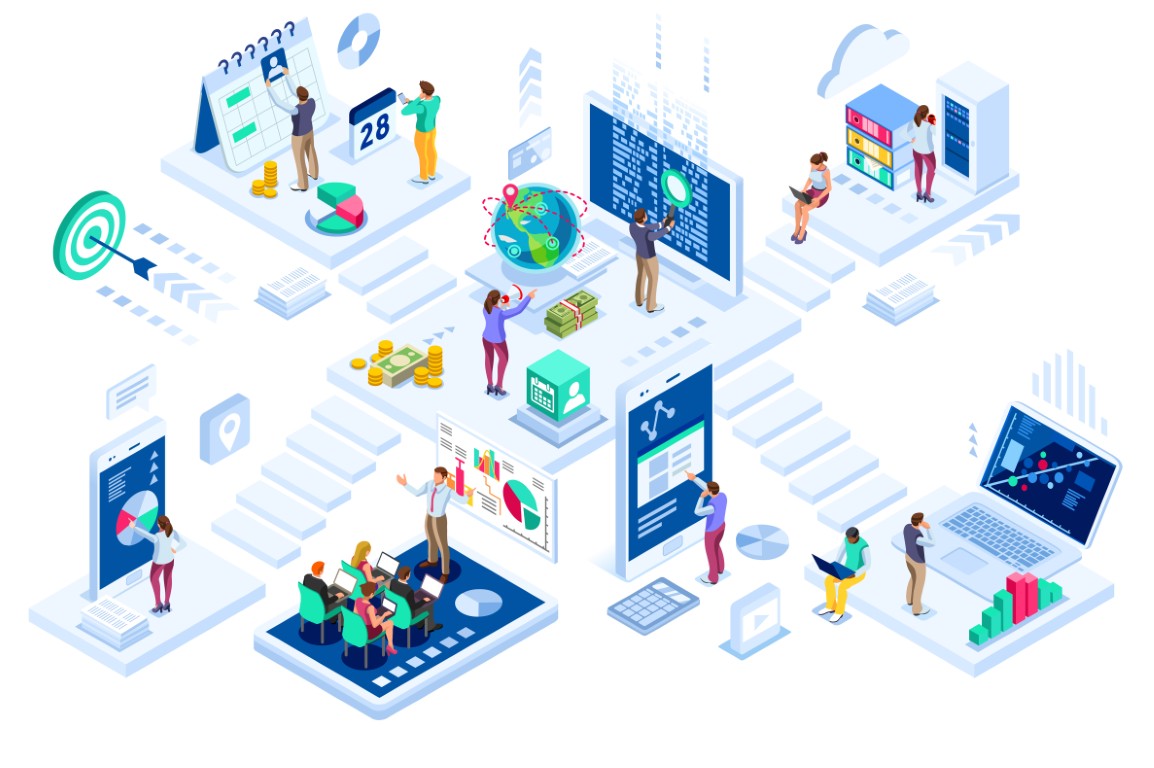
- Overview
- Events
- Stories & Outreach
- Knowlege Frontiers
- I-GUIDE Platform
- Contact Us
Vision:
Drive digital discovery and innovation
by harnessing the geospatial data revolution
Mission:
Advance convergence and geospatial sciences
for holistic sustainability solutions
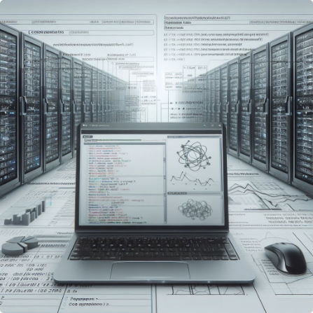
Access to High-Performance Computing system
Access to Datasets on Cloud

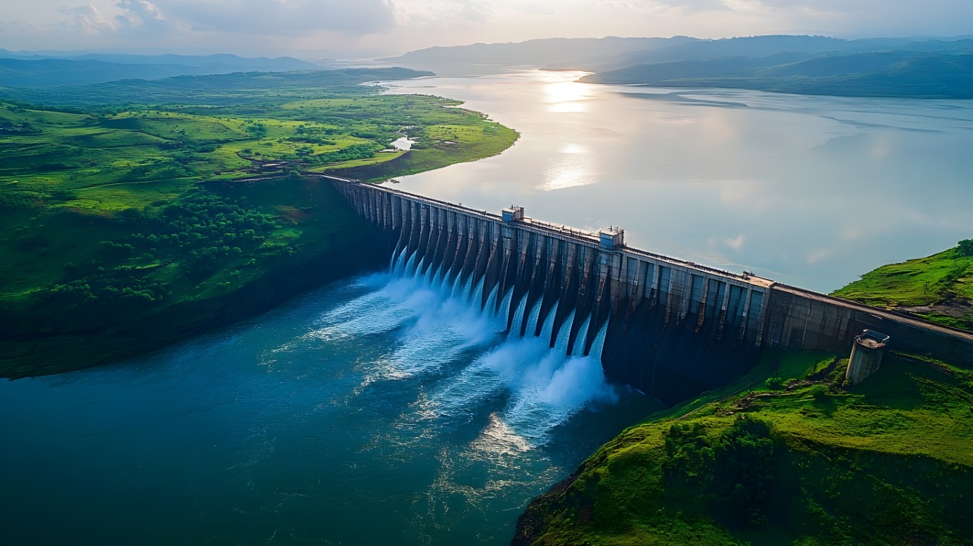
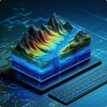
Simulation with Hydrological Model WRFHydro
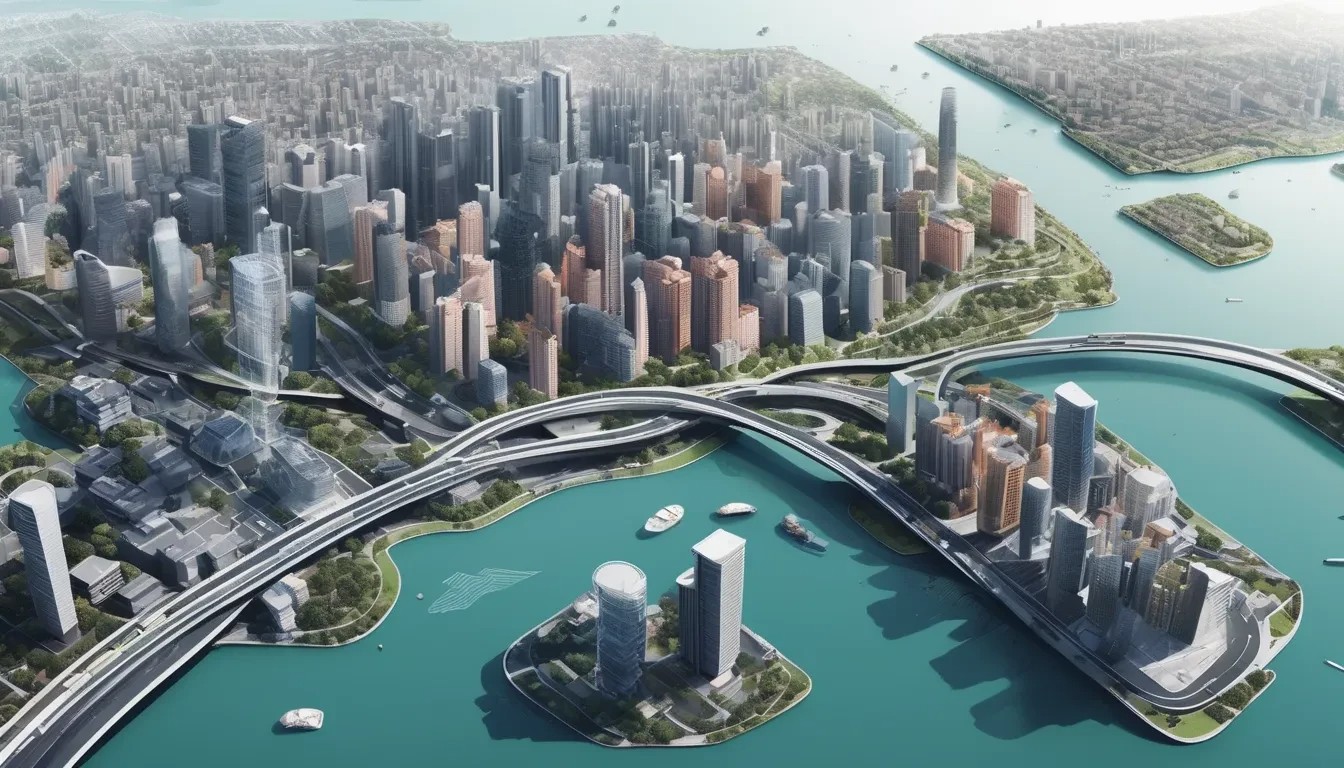
The I-GUIDE platform is designed to harness the vast, diverse, and distributed geospatial data at different spatial and temporal scales and make them broadly accessible and usable to convergence research and education enabled by cutting-edge cyberGIS and cyberinfrastructure.
Launch I-GUIDE PlatformThe I-GUIDE Platform provides an open science and collaborative environment for geospatial data-intensive convergence research and education focused on sustainability and resilience challenges and enabled by advanced cyberGIS and cyberinfrastructure. The Platform serves the broad geospatial and sustainability research and education communities by supporting FAIR data principles and democratizing access to advanced cyberGIS & cyberinfrastructure and cutting-edge geospatial AI & data science capabilities. With the Platform you can “map”, “connect” and “discover” multidisciplinary knowledge elements produced by the I-GUIDE project and the broader I-GUIDE community.
Platform Content:
VCO:


Type the key word and press ENTER to search. Press ESC to close.